Great Lakes ORV GPS Maps - ORV Trail Systems in Michigan, Wisconsin & Minnesota
Version
2026.6.14 (6/14/26)
Included in package price:
- Pre-loaded memory card - Plug into the GPS and GO.
- Free updates for first year
- Instant download of installation program if you don't want to wait for the card.
- Standard USPS Shipping and applicable taxes.
Optional Extras:
- CD for installing to computer - note the included memory card has the install program on it and can be used instead of CD.
- USB Card reader, for connecting your card directly to the computer.
- Priority or Expedited Shipping - base price includes USPS First Class Mail shipping; get it sooner with our Expedited Shipping Option (usually USPS Priority or Express Mail).
Complete Coverage for Michigan, Wisconsin, Minnesota and South Dakota.
Full road coverage, rivers, lakes, towns and more. Points of interest, parking lots, lodging, gas stations.
Public Land is shown including State Forests, county forests, national forests, Parks, Wildlife Mangement Areas, public hunting areas, commercial forest land and related.
Includes current Motor Vehicle Use Map data to help you identify open/legal
roads on National Forest lands.
Includes current Michigan DNR State Forest Road open/closed status for ORVs.
Includes county roads designated as open to ORVs by ordinance.
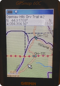
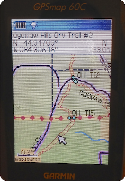
These maps visually show the different ORV Trail/ATV Trail, Motorcycle-Only Trail,
Michigan Cross Country Cycle Trail, ORV Route/ATV Route, county road, county road open to ORV, highways, forest roads and more.
Hundreds of miles of non-motorized trails and snowmobile trails.
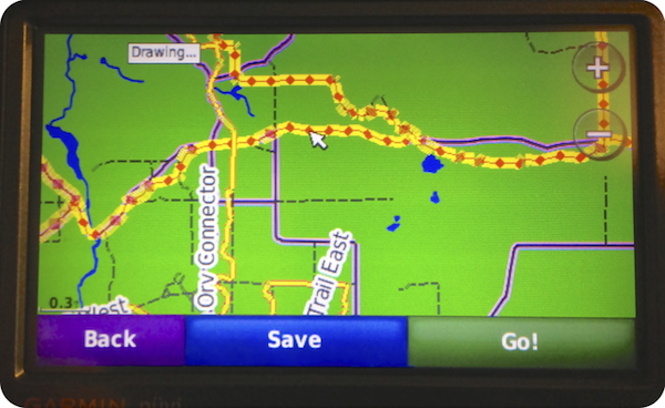
Maps support routing in the computer and GPS. Makes trip planning
simpler; have the GPS tell you how to get back to the parking lot
with turn by turn directions. See our Routing
FAQ.
Maps come loaded on a memory card, just plug into your GPS and go. Android tablets require installation and configuration of app included on card.
Map installer included on card can be used to put the maps on the computer which will integrate into an existing copy
of Garmin's MapSource or BaseCamp software. View the maps on the big screen, plan your trips.
Check out the additional map features including legend and sign guide.
This map, like most of ours, was developed by recording with a GPS
unit while actually riding the trails and provides full coverage of the entire systems listed.
System Requirements:
- Windows based PC or Macintosh for viewing on computer with 500MB of free space.
- Garmin or Lowrance Mapping GPS Unit for using the maps