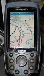
Appalachia ORV GPSmaps - ORV Trail Systems in the beautiful Appalachian Mountains
Version 9.5.0 (12/10/25)
Price includes tax and shipping, pre-loaded microSD card with SD Adaptor, free updates for first 12 months and instant download of installation program.
Optional Extras:
- CD for installing to computer - note the included memory card has the install program on it and can be used instead of CD.
- Printed maps, full color 8.5x11 map for each system listed below (not waterproof).
- USB Card reader, for connecting your card directly to the computer.
- Expedited Shipping - base price includes USPS First Class Mail shipping; get it sooner with our Priority & Expedited Shipping Options (usually USPS Priority/Express Mail).
Coverage for Kentucky, Ohio, Tennessee, Virginia and West Virginia and includes the following trail systems:
WV: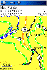
[Hatfield McCoy]
Big Coal River
BearWallow
BraveHeart
Cabwaylingo
Buffalo Mountain
Devil Anse
Indian Ridge
Ivy Branch
Pinnacle Creek
Pocahontas
RockHouse
Tornado Single Trax
Warrior
Burning Rock
KY:
Black Mountain
Boneyard Holler
Hollerwood Park
Leatherwood
Mine Made Adventure
RedBird Crest
Rush Off Road
Sheltowee Trace/Renfro Loop
Turkey Bay (Land Between the Lakes)
White Sulphur
Wild Cat Adventure
OH: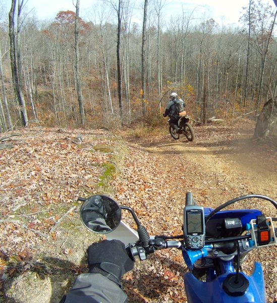
[Wayne National Forest]
Brushy Creek
Hanging Rock
Monday Creek
New Straitsville
Perry State Forest
Maumee State Forest
Pike State Forest
Richland Furnace State Forest
TN:
BrimStone
Coalmont
Cub Mountain
Doe Mountain
Golden Mountain
Royal Blue
Tackett Creek
WindRock
[Cherokee National Forest]
Trail 81 and 82
VA:
Coal Canyon
Jawbone
Mountain View
Original Pocahontas
Ridge View
Stone Mountain
SC:
Carolina Adventure World
Full road coverage, rivers, lakes, towns and more. Points of interest, parking lots, lodging, gas stations.
Public Land is shown including State Forests, Parks, Wildlife Mangement Areas, public hunting areas/related and National Forests.
Hundreds of miles of non-motorized trails.
Hundreds of miles of "Outlaw" Trails and forest roads (legally open for riding, but otherwise unmarked) are also included for reference. Please be sure to have permission or know if the trail is legally open for travel. If in doubt, stick to the designated trail systems.
Maps support routing in the computer and GPS. Makes trip planning
simpler; have the GPS tell you how to get back to the parking lot
with turn by turn directions.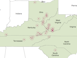
Maps come loaded on a memory card, just plug into your GPS and go.
Map installer included on card can be installed to the computer which will integrate into an existing copy
of Garmin's MapSource or BaseCamp software for interaction on the computer with our maps.
This map, like most of ours, was developed by recording with a GPS
unit while actually riding the trails and provides full coverage of the entire systems listed.
System Requirements:
- Windows based PC or Macintosh for viewing on computer with 1GB of free space.
- Garmin or Lowrance Mapping GPS Unit for using the maps